Tulsa — Zink Lake / Riverside
Layered building-massing + context CAD export · 402 m radius · commercial-licensed
⬇ Download deliverable (.zip · ~88 MB · draped + contours)
Hosted on gofile (88 MB — over this host's per-file
limit, so the button opens the gofile page). Contains:
scene_layers.fbx (combined, textures embedded) ·
fbx_layers/ — one FBX per layer (BUILDINGS/ROADS/RAIL/BRIDGES/GROUND/WATER/AERIAL/CONTOURS)
for guaranteed per-layer control in Rhino/Revit/SketchUp/Max ·
contours.dxf (LWPOLYLINEs on CONTOURS_MINOR/MAJOR, elevations attached) ·
.glb · .obj+.mtl · ground_naip.png ·
export_report.json · ATTRIBUTION.txt
Rhino note: the combined FBX flattens onto one display layer (Blender's
exporter limitation) — import the files under fbx_layers/ for toggleable layers.
9 named layers — every object is 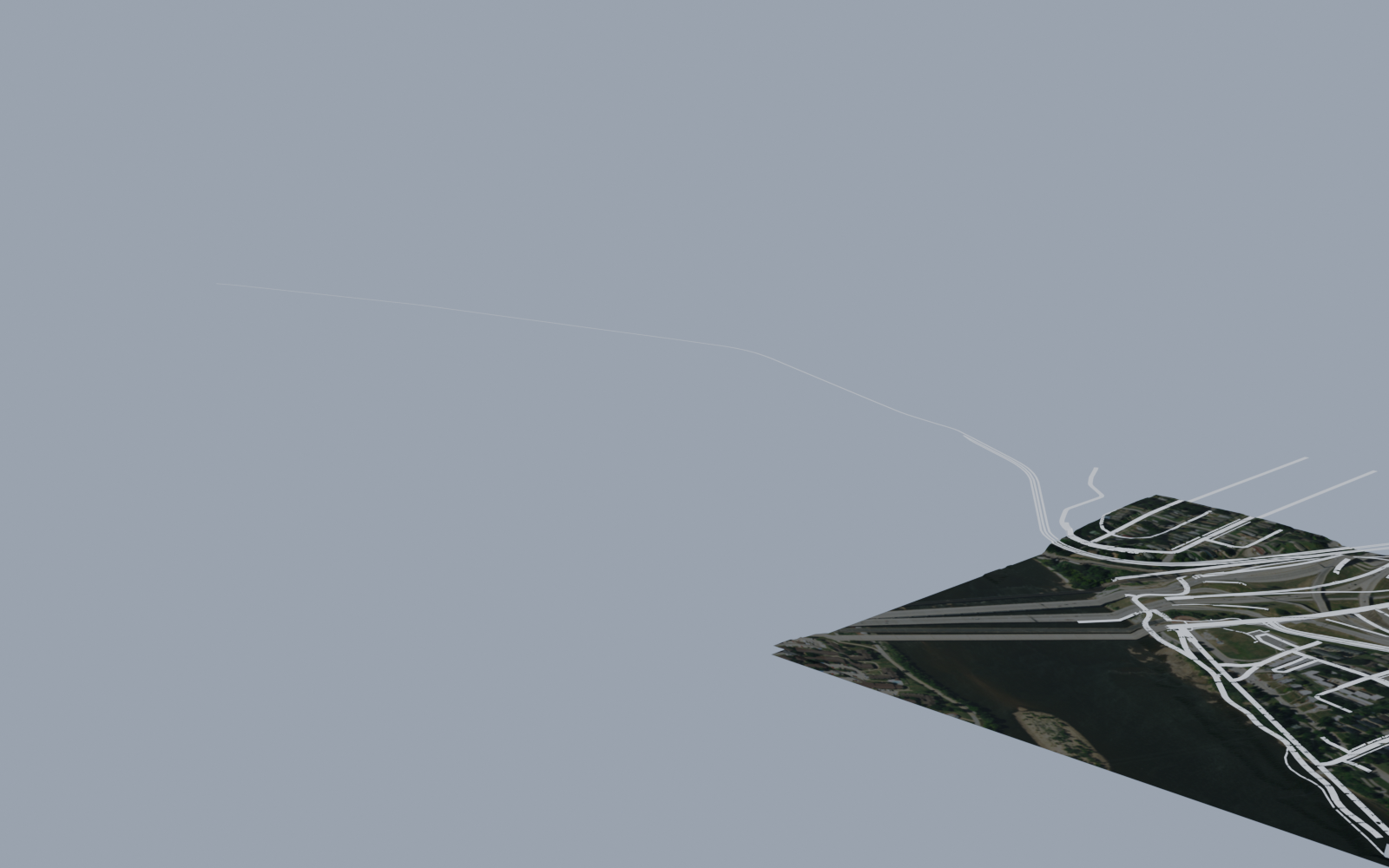
LAYER__entity; FBX carries a parent empty per
layer, OBJ carries g LAYER groups (Rhino: "import OBJ groups as layers").
- BUILDINGS (168) · ROADS · RAIL · BRIDGES (30 spans)
- GROUND (USGS 3DEP terrain, ~29 m relief) · WATER (Zink Lake) · AERIAL (USDA NAIP)
- CONTOURS — 0.5 m elevation lines (222 rings, majors every 5th), draped on the terrain skin + as CAD DXF
Licensing — commercial-clean: no Street-View-derived geometry. Sources: OpenStreetMap (ODbL),
Mapillary (CC-BY-SA), USGS 3DEP LiDAR (public domain), USDA NAIP (public domain).
Full text in
ATTRIBUTION.txt inside the zip.
Generated by BlockForge (commercial mode) · Skyline Vis · 2026-07-13